SAMPLE DELIVERABLES // REAL PROJECT DATA
120-Acre Natrona County Subdivision - 480 RTK Frames - Sub-18hr Turnaround - Casper WY
Download real geospatial and CAD test files generated on our dedicated multi-GPU WebODM + RealityCapture workstation node. Test direct imports in AutoCAD Civil 3D, QGIS, and ArcGIS before submitting your first flight.
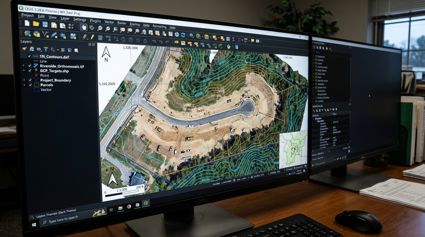
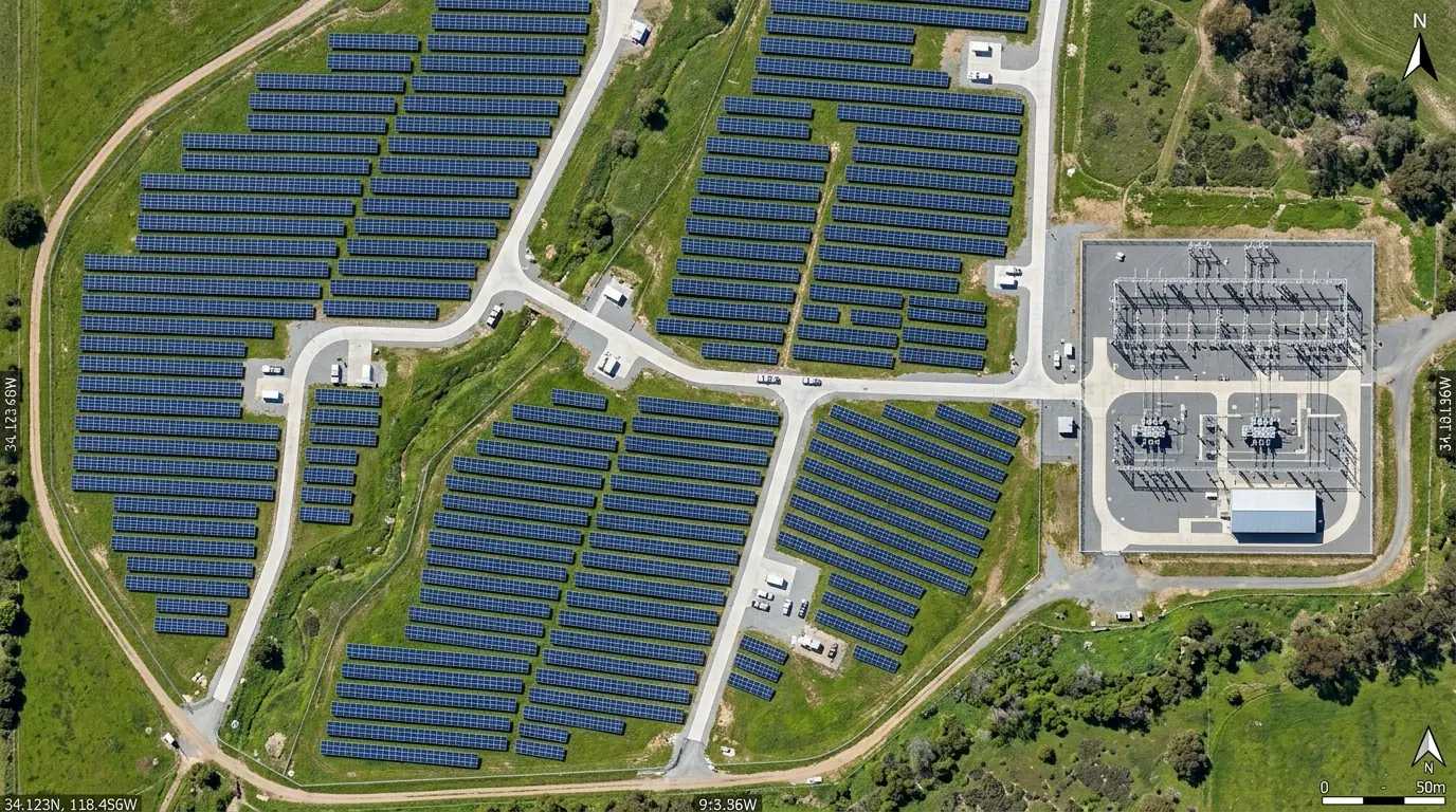
Raw Drone Photo vs. Georeferenced Orthomosaic & Contours
Sample Pack Download Grid
Inspect real coordinate headers, worldfiles, 3D DXF polylines, and elevation grids directly in your CAD/GIS workstation.
2D Orthomosaic
1.2 cm/px GSD, NAD83 State Plane, 850MB example. Color-balanced, seamline-blended nadir mosaic with zero edge distortion.
- sample_ortho_120acre.tif
- sample_ortho_4k.jpg
- .tfw worldfile
DSM / DTM Elevation
32-bit float DEM, ±3.2cm vertical, NAVD88 Geoid18. Ready for drainage modeling, slope grading, and cut/fill surface comparison.
- sample_dsm_32bit.tif
- hillshade_hypsometric.tif
- XYZ grid
CAD Contours
True 3D Polylines (Z baked), 1ft minor / 5ft major, Zero crossing errors. Drops straight into AutoCAD Civil 3D, Carlson, and MicroStation.
- contours_1ft_3d.dxf
- contours_shp.zip
- contours_gpkg.gpkg
Point Cloud + Volumetrics
450+ pts/m2, Classified, Stockpile Cut/Fill Report. ASPRS LAS 1.4 densified point cloud with Wavefront 3D mesh and volumetric PDF report.
- dense_cloud_classified.las
- textured_mesh.obj
- cutfill_report.pdf
Interactive 3D Textured Mesh & Elevation Surface
Model source: /samples/3d/model.obj • Cesium / Potree compatible survey mesh
CAD Quick-Import Guide (Zero Line Cleaning)
Import our 3D polyline contours into AutoCAD Civil 3D and generate a TIN surface in 10 seconds with zero contour crossing errors:
Drop .DXF into Model Space
Open or drag `contours_1ft_3d.dxf` directly into Civil 3D model space.
DXFIN
Contours Snap with True Z
Attach drawing at `0,0,0` in NAD83 State Plane with true Z-elevation baked into every vertex.
INSERT
Toolspace → Surfaces → Add Contours
Run `_SURFACEADDCONTOURS` and select the `C-TOPO-MAJR` and `C-TOPO-MINR` 3D polylines.
_SURFACEADDCONTOURS
3D TIN Surface Meshes (0 Errors)
Surface triangulates immediately with 0 crossing lines — ready for cut/fill grading.
_SURFACESTYLEEDIT
Natrona County 120-Acre Subdivision Benchmark
Processed on our dedicated Casper, WY RTX workstation node from raw DJI Mavic 3 Enterprise RTK imagery.
Ready to Process Your Next Drone Flight?
Send your Google Drive, Dropbox, OneDrive, or S3/R2 bucket link for a 100% free overlap and GSD scope check — or deliver 100% white-label under your agency brand.