Orthophoto Surveys
Captured using a high-resolution 45-megapixel camera. Each image is georeferenced down to the millimeter and stitched using photogrammetry into an accurate, high-fidelity map of your entire site.
Ground Sampling Distance (GSD)
0.75 cm / px
Absolute X/Y/Z Precision
< 2 cm
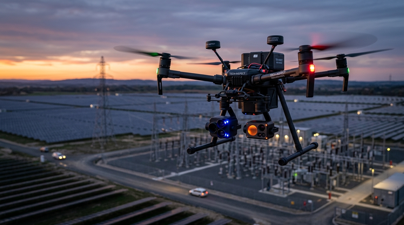
Thermal Inspections
Leverages radiometric FLIR infrared scanning. This scan of a solar farm immediately points out micro-cracks and hot spots (rendered in white/yellow) which indicate cell degradation and power leakages.
Sensor Resolution
640 × 512 radiometric
Temp Sensitivity
< 30 mK (0.03°C)
3D Point Cloud Modelling
Generated by combining LiDAR laser scans and photogrammetry. The resulting point cloud offers structural elevation profiles, topographic mesh mapping, and accurate digital twins of the substation structures.
Point Density
450+ points / m²
Output Formats
LAS, LAZ, OBJ, DXF